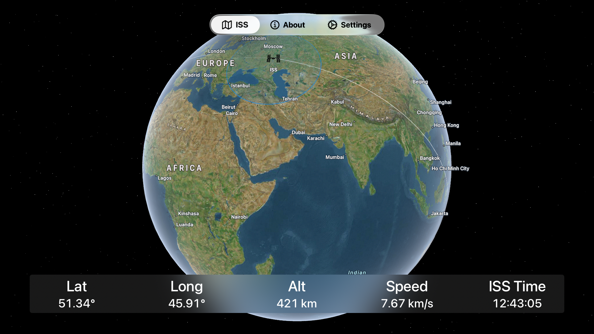
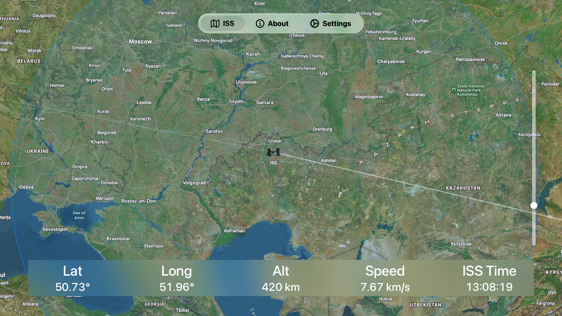
ISS Live Tracker lets you follow the ISS in real time on a map. You can zoom in to see exactly where the ISS is.
A region around the ISS location shows where the ISS is currently visible in the sky. It is is night in this region, then the ISS will be visible in the sky. The application will show which direction you would need to look to spot it.
Telemetry data shows the current longitude, latitude, altitude, and speed of the ISS. It also shows the local Earth time for the ISS. This is based on UTC, offset by the ISS's longitude. It is independent of time zones and daylight savings.
You can view the telemetry in metric (the default) or imperial measurements.
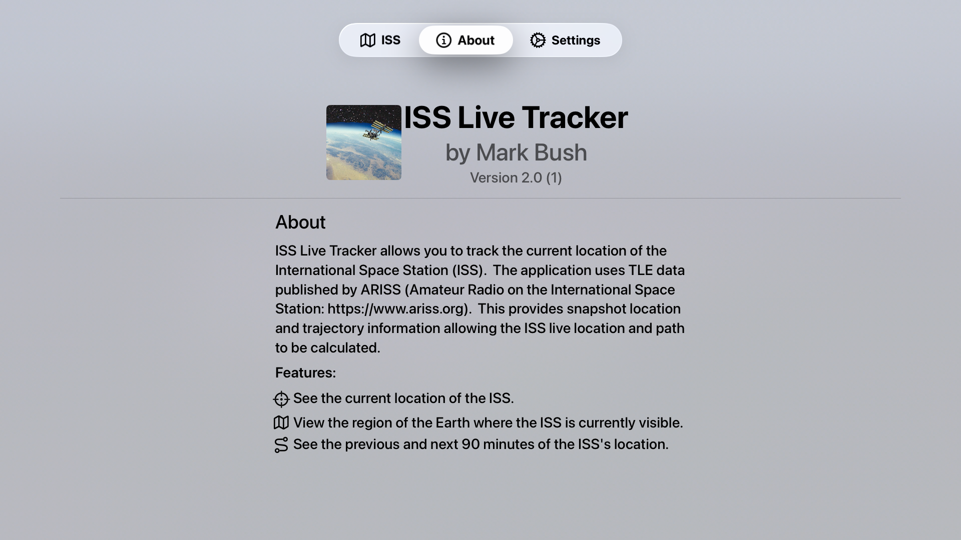
The application uses data from ARISS in order to calculate the location and trajectory of the ISS.
This application works on iPhone, iPad, Mac, Apple TV, and Apple Vision Pro.
Privacy Policy
The application ISS Live Tracker does not collect, store, or share any data.